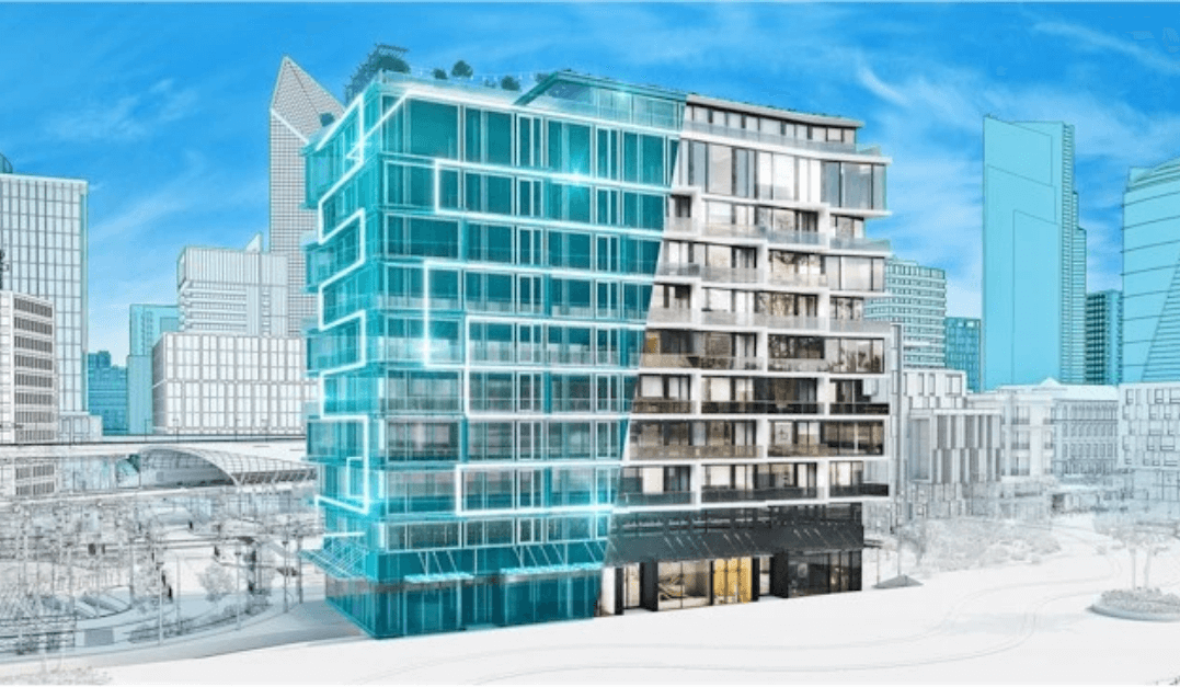
3D Point Clouds and MESH Models are used to create accurate maps and models of objects and areas that are accessible by multiple people on your team, in real-time, virtually anywhere in the world. This data is used for a variety of purposes, such as planning and construction, asset management, and environmental monitoring.
3D Point Cloud and MESH Models